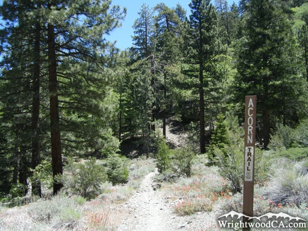
Acorn Trail
Hiking Trails
 View Photos (20) View Photos (20)
|
 View Maps (2) View Maps (2)
|
Acorn Trail Information |
| Length: | 2.1 miles |
| Type: | One Way |
| Gain/Loss: | +/-1710' |
| Difficulty: | Hard |
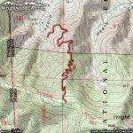
| Trailhead: | Acorn Drive / Blue Ridge Road |
| Location: | South of Wrightwood |
|
Acorn Trail Elevation Profile
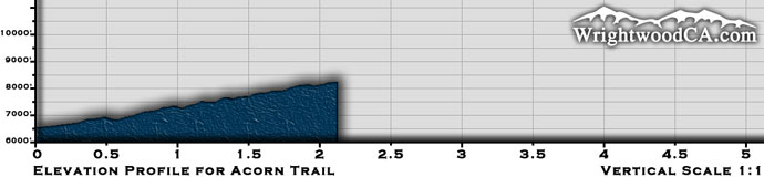
*Elevation data provided by National Geographic Topo!*
Acorn Trail Description
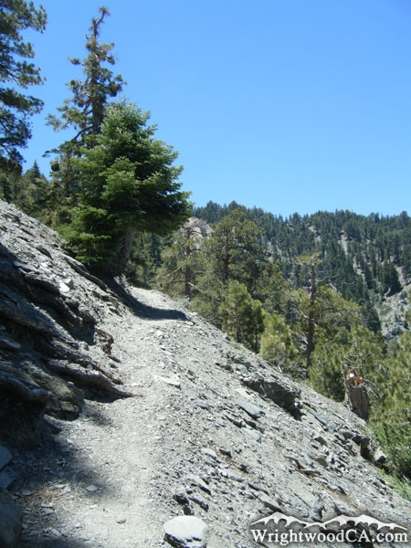
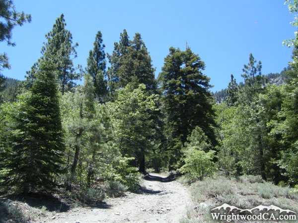
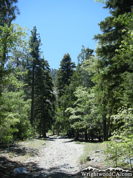
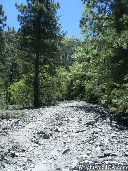
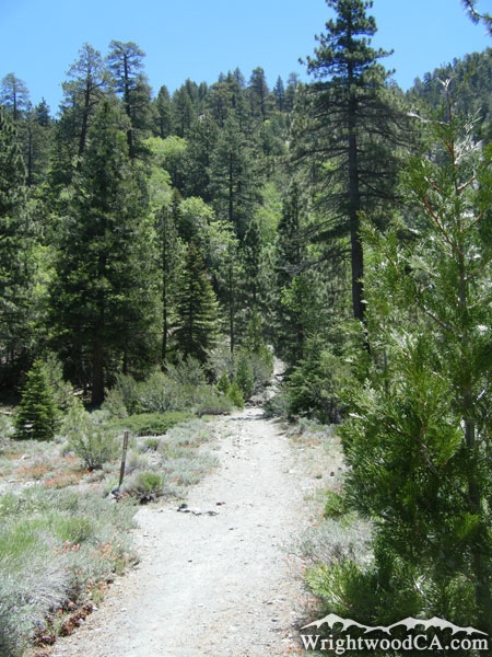
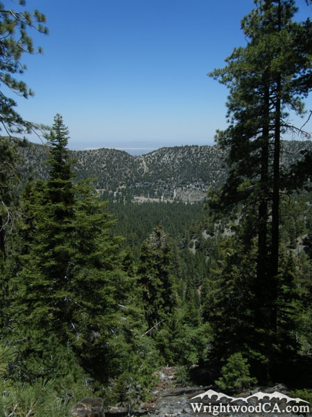
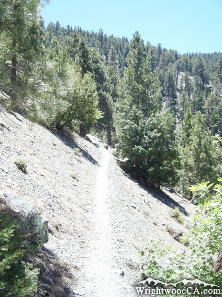
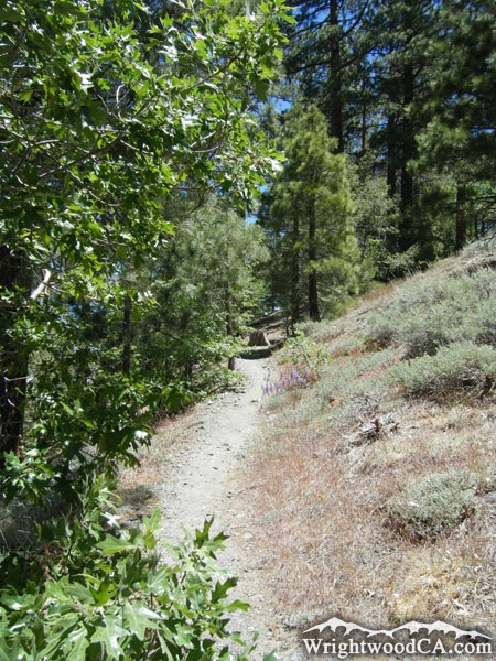
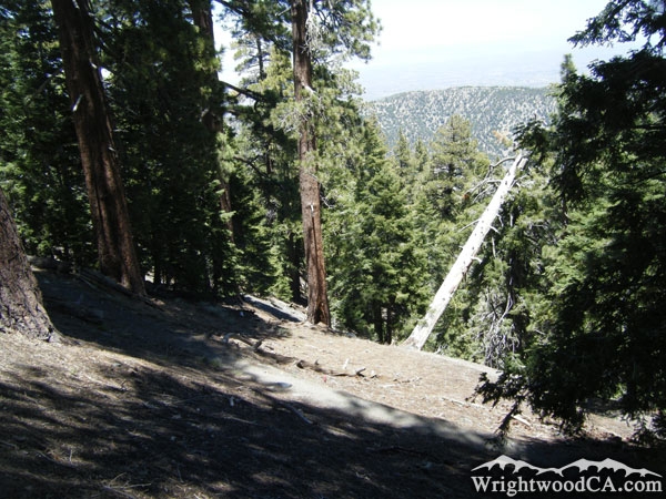
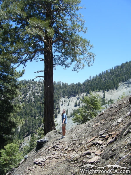
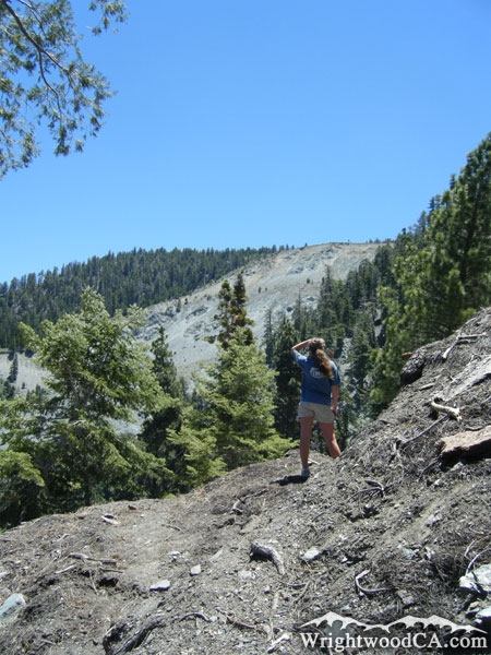
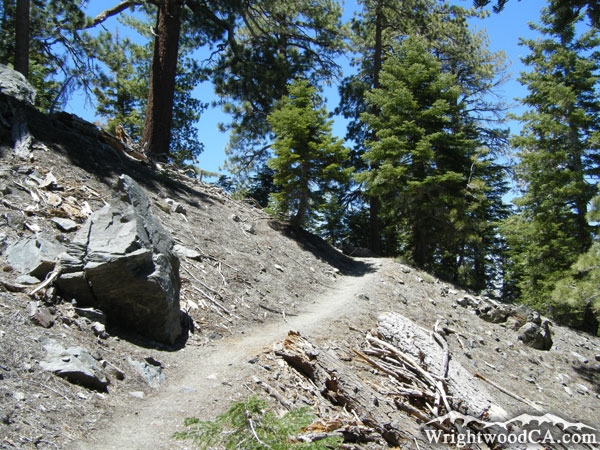
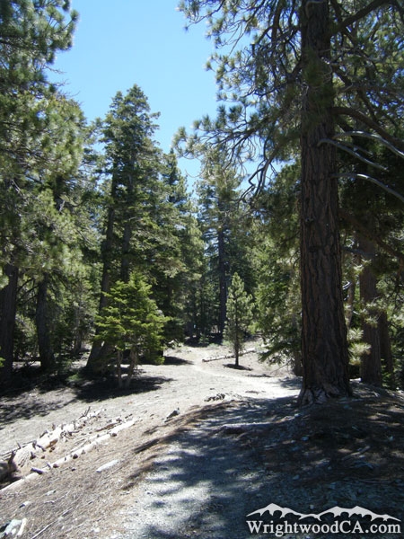
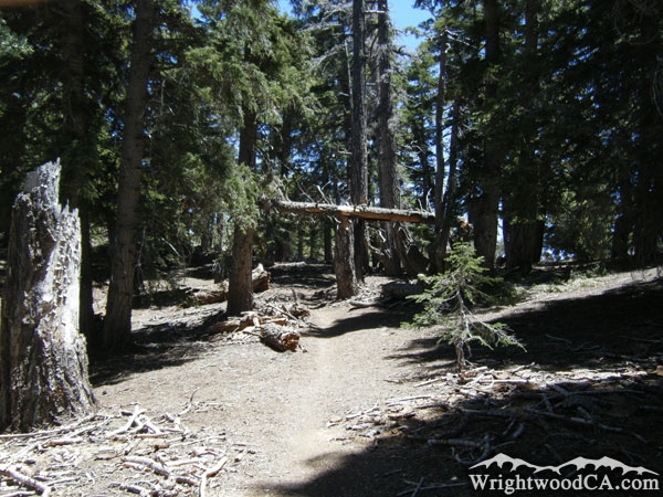
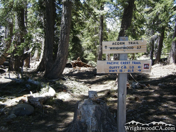
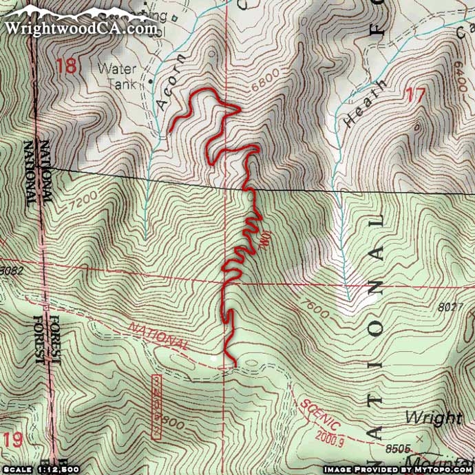
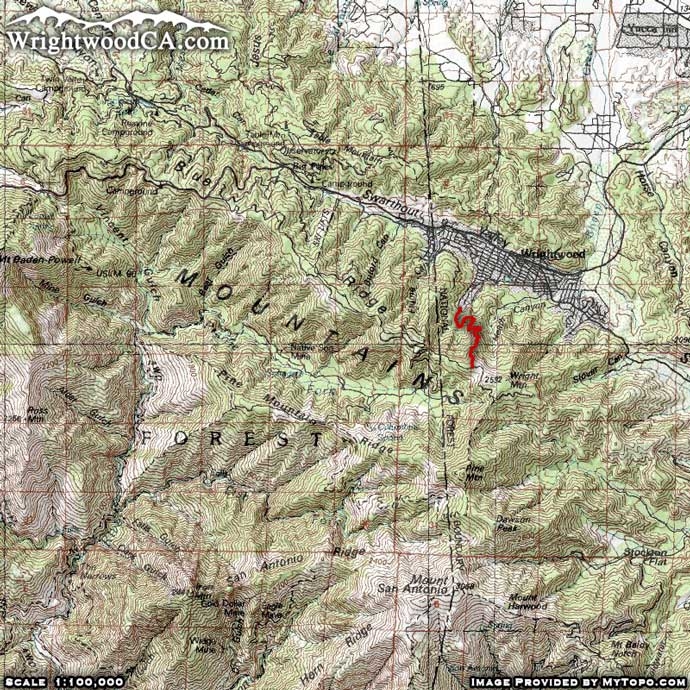
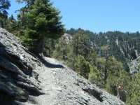
The Acorn Trail is located just south of Wrightwood, near the top of Acorn Drive, just past the residential area. This trail starts off nice and easy, crawling up through Acorn Canyon. In the fall, this is one of the best places to view all of the colors the trees have to offer. The Acorn Trail then traverses up the east side of Acorn Canyon on the ridge that separates Acorn Canyon from Heath Canyon. This area offers great views looking down at some of the residential areas of the town of Wrightwood. The trail continues traversing gradually to the top of Blue Ridge, climbing just over 1,700 feet in 2 miles. The end of the trail connects with the Pacific Crest Trail (PCT). For rewarding views, take the southbound PCT (which runs eastbound here) to the landslide along the face of Wright Mountain. This is one of the greatest view points for looking down at the town of Wrightwood and Swarthout Valley.
Directions to Acorn Trail from Wrightwood
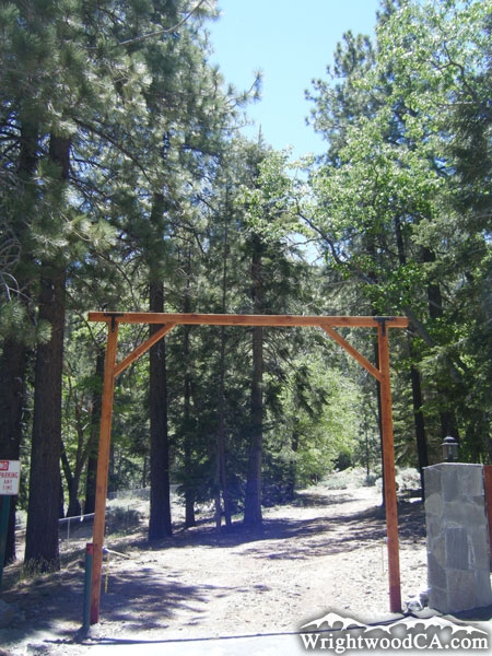
From downtown Wrightwood, take Hwy 2 westbound and make a left turn onto Spruce St. just past Wrightwood Elementary School. Travel southbound on Spruce St. to Apple Ave. Make a right on Apple Ave. then continue to Acorn Rd. Turn left on Acorn Rd. and continue southbound until you hit the private section at the end of Acorn Rd. Unfortunately, this area of the road is privately owned and you cannot park there. Park in the residential area just before it and hike up the road, it's not very far to reach the trail head which is located at the top of the road.
Acorn Trail Photos
Acorn Trail Maps
|