Mine Gulch Trail
Hiking Trails
 View Photos (5) View Photos (5)
|
 View Maps (2) View Maps (2)
|
Mine Gulch Trail Information |
| Length: | 4.2 miles |
| Type: | One Way |
| Gain/Loss: | +/-2085' |
| Difficulty: | Hard |
| Trailhead: | Vincent Gap |
| Location: | South-West of Wrightwood |
|
Mine Gulch Trail Elevation Profile
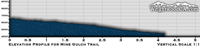
*Elevation data provided by National Geographic Topo!*
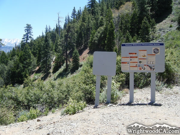
Mine Gulch Trail Description
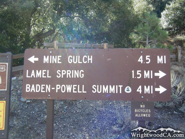
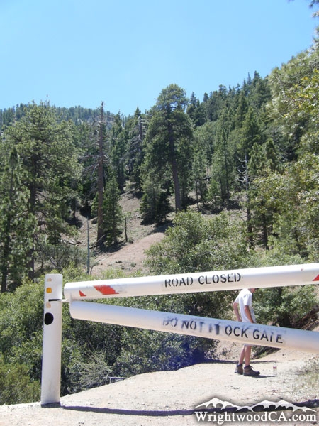
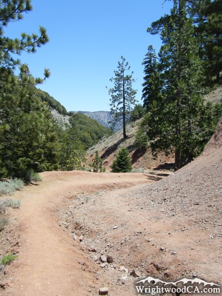
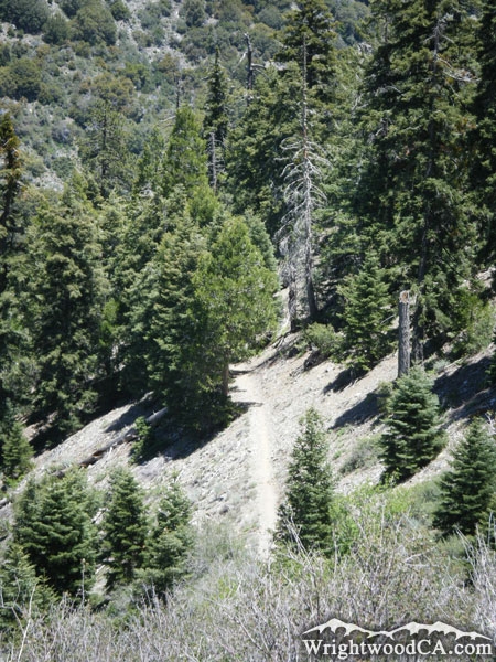
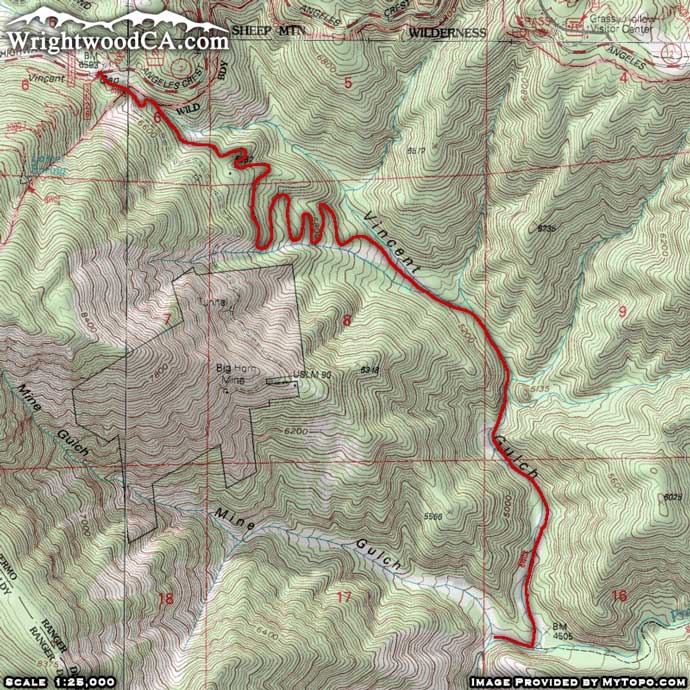
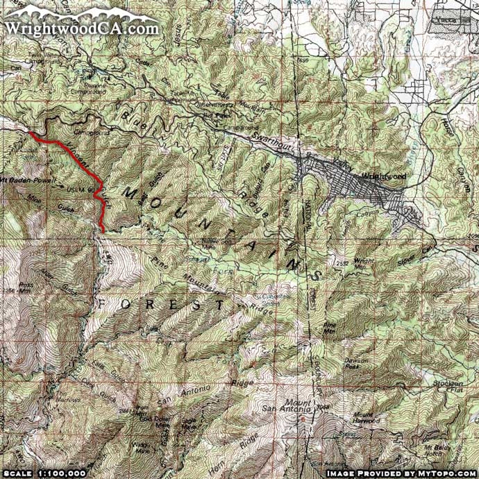
The Mine Gulch Trail is located south-west of the town of Wrightwood, near Mt Baden Powell. With the trail head starting at Vincent Gap, the Mine Gulch Trail accompanies the Bighorn Mine Trail for a little ways before cutting down into Vincent Gulch. There are several switchbacks on the trail as you drop down into the Gulch. This trail isn't as well maintained as some of the other trails in the area, but it's not the worst either. The Mine Gulch Trail continues down Vincent Gulch until it intersects with the main San Gabriel River Basin (East Fork). As you continue down this canyon, the trial intersects with the Prairie Fork Trail (which is terribly maintained). Continue for a little ways as the Mine Gulch Trail ends near the bottom of... you guessed it... Mine Gulch.
Directions to Mine Gulch Trail from Wrightwood
Take Hwy 2 westbound from Wrightwood, past Big Pines and up to Inspiration Point. Continue on Hwy 2 from Inspiration Point past Grassy Hollow Visitor's Center and down to the Vincent Gap parking area.
A second option would be to take the 3N06 Access Road eastbound from Inspiration Point to it's intersection with the 3N39 Access Road. Take 3N39 down to to Lupine Campground. If you have an off-road capable vehicle that you don't mind thrashing, continue past Lupine Campground on the 3N39 down to Cabin Flat Campground. From here you can take the Prairie Fork Trail about 2.4 miles through overgrown vegetation on a non-maintained trail, which will ultimately lead you to the bottom of the Mine Gulch Trail. Unless you are desperate for a long and serious adventure, this route isn't recommended.
Don't forget to display a National Forest Adventure Pass in the windshield of your vehicle.
Mine Gulch Trail Photos
Mine Gulch Trail Maps
|