Dawson Peak Trail
Hiking Trails
 View Photos (36) View Photos (36)
|
 View Maps (2) View Maps (2)
|
Dawson Peak Trail Information |
| Length: | 4.6 miles |
| Type: | Connecting |
| Gain/Loss: | +/-2530' |
| Difficulty: | Hard |
| Trailhead: | Backbone Trail / Fish Fork Trail |
| Location: | South of Wrightwood |
|
Dawson Peak Trail Elevation Profile
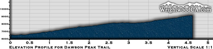
*Elevation data provided by National Geographic Topo!*
Dawson Peak Trail Description
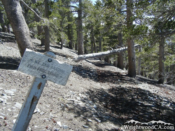
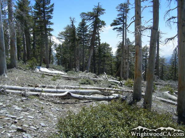
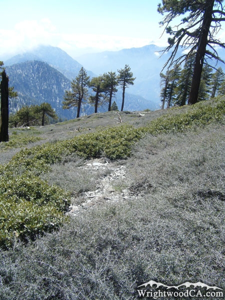
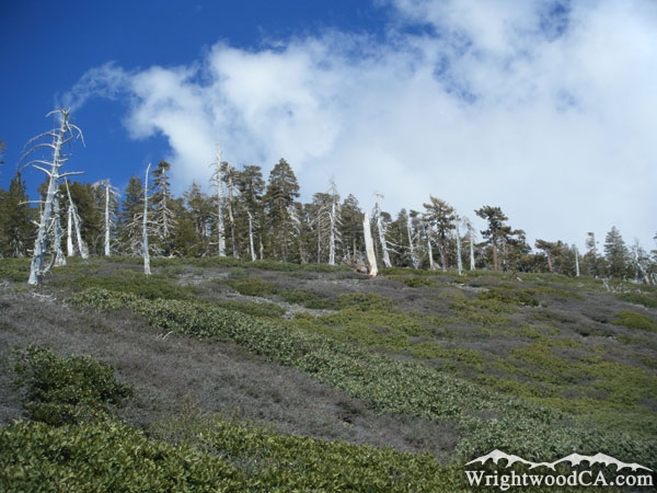
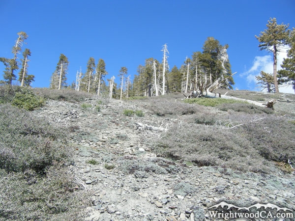
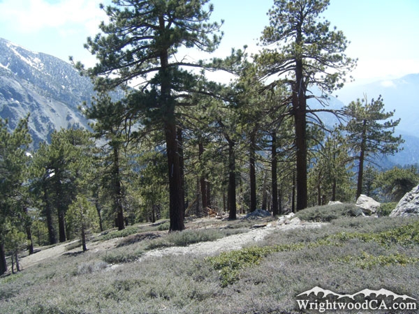
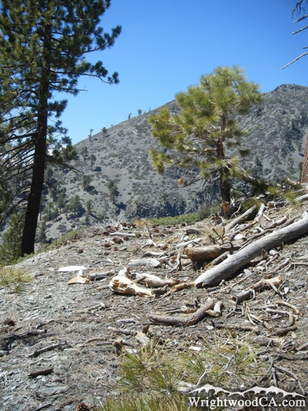
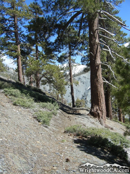
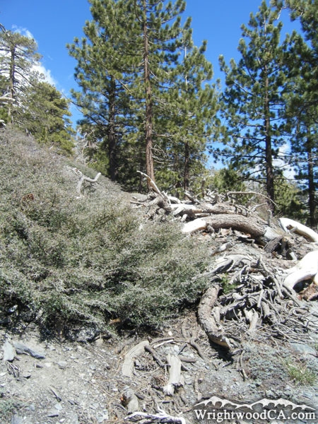
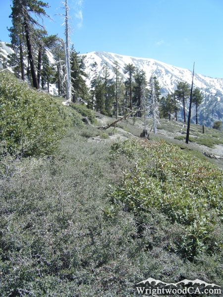
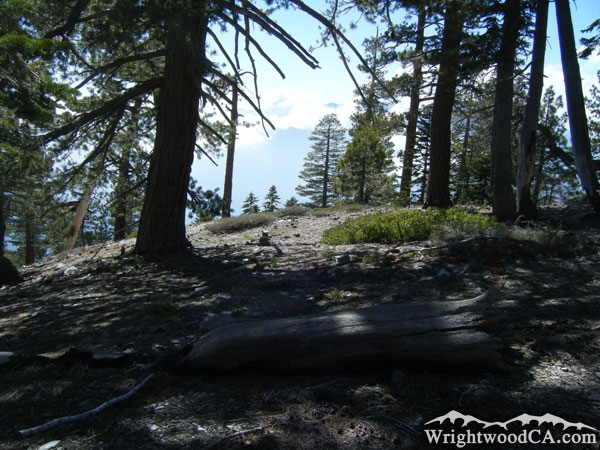
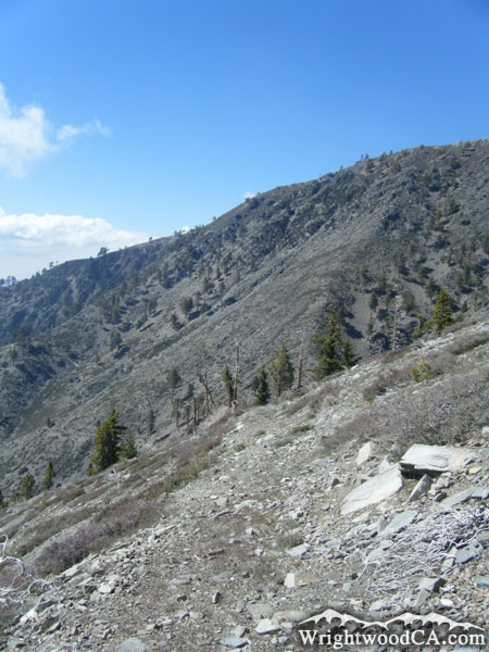
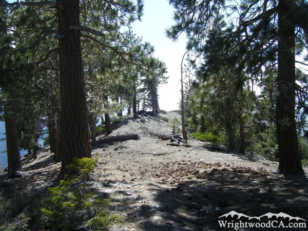
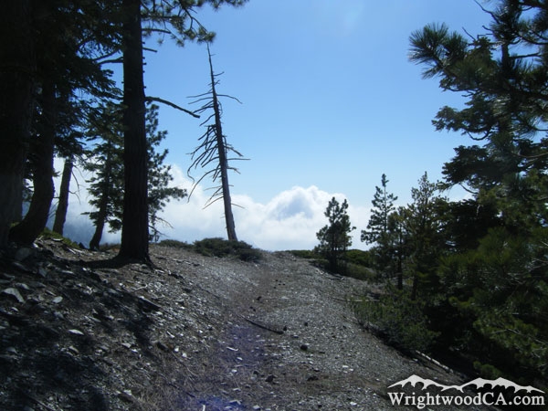
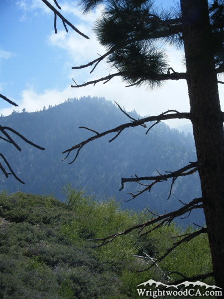
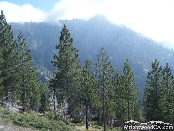
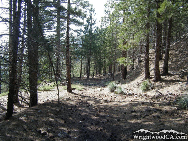
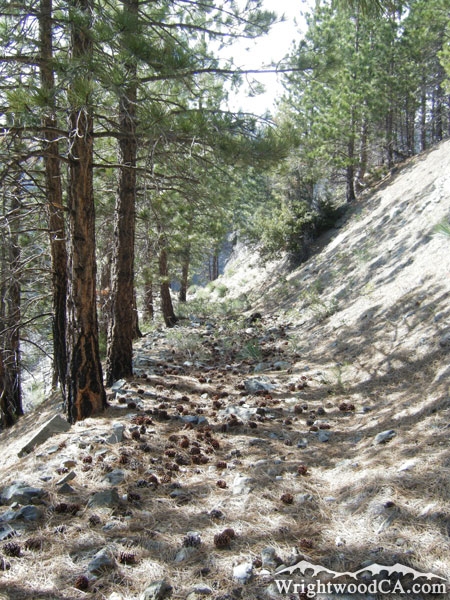
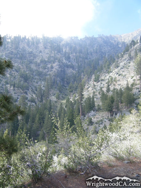
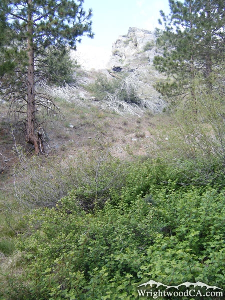
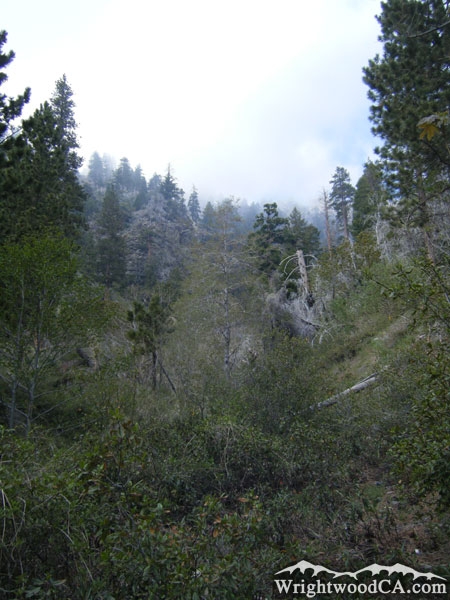
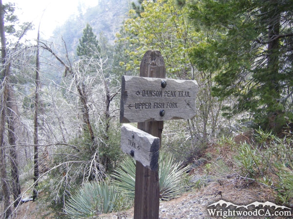
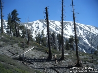
The Dawson Peak Trail is located south of the town of Wrightwood along the side of Dawson Peak. The trail has no trail head, rather it connects the Fish Fork Trail to the North Backbone Trail on Dawson Peak. The 4.6 miles of "trail" are horribly maintained and overgrown with thorn bushes. The trail is hard, sometimes impossible, to follow as it works its way down the side of the mountain toward Fish Fork. This Trail is not to be attempted without long pants and other forms of leg protection.
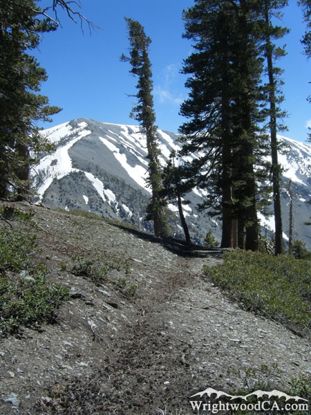
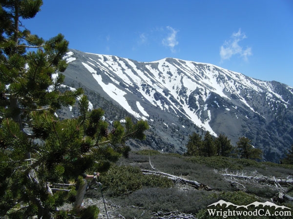
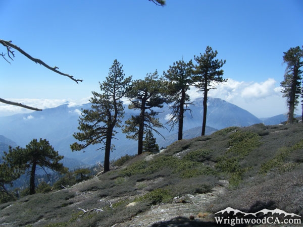
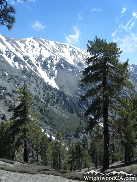
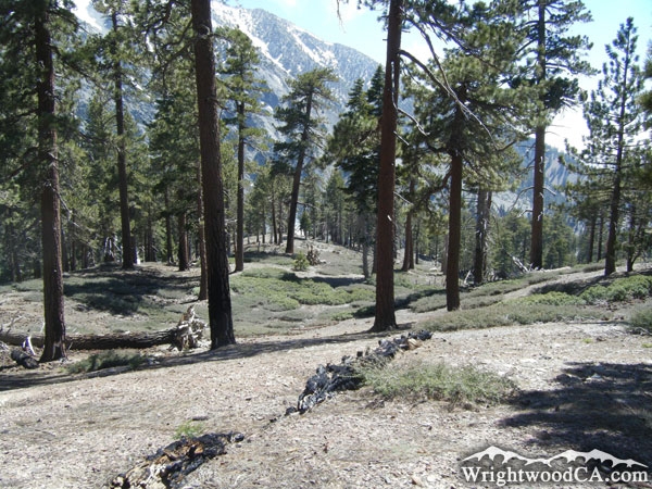
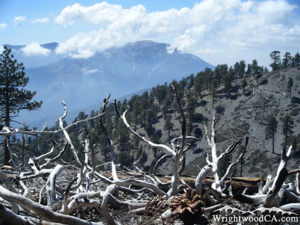
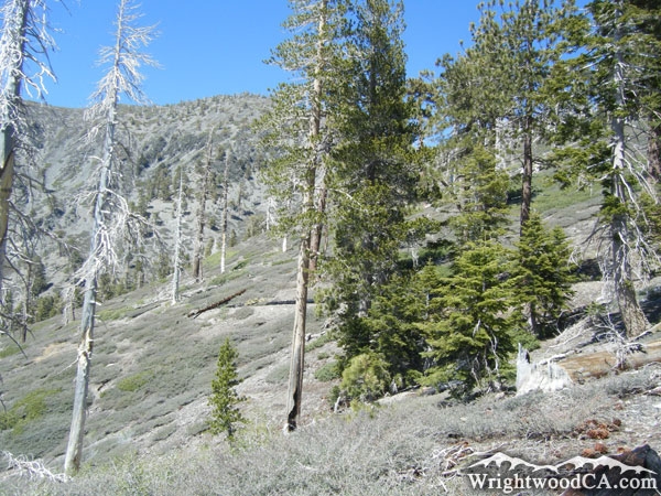
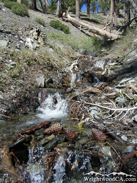
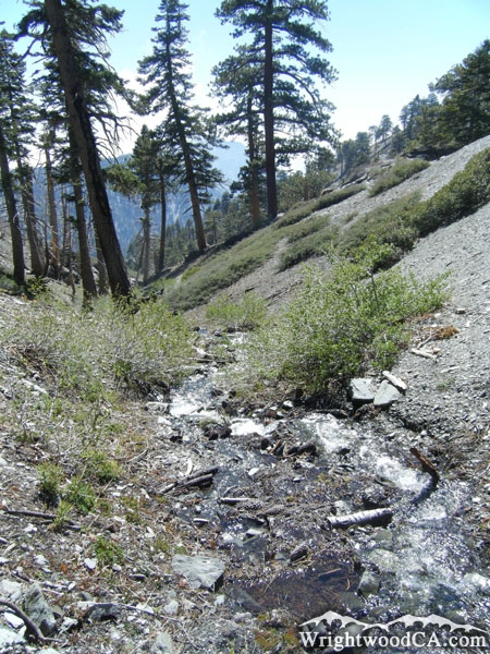
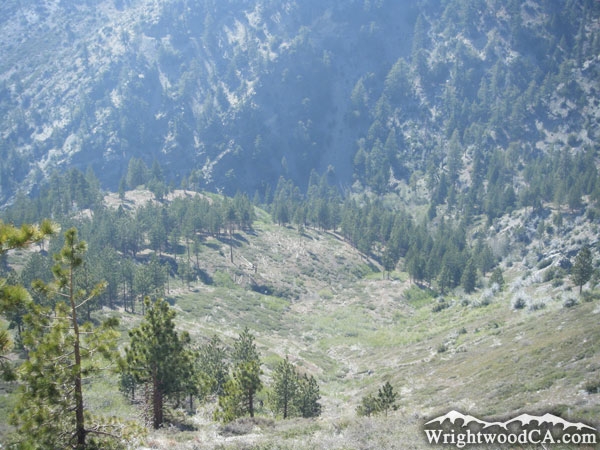
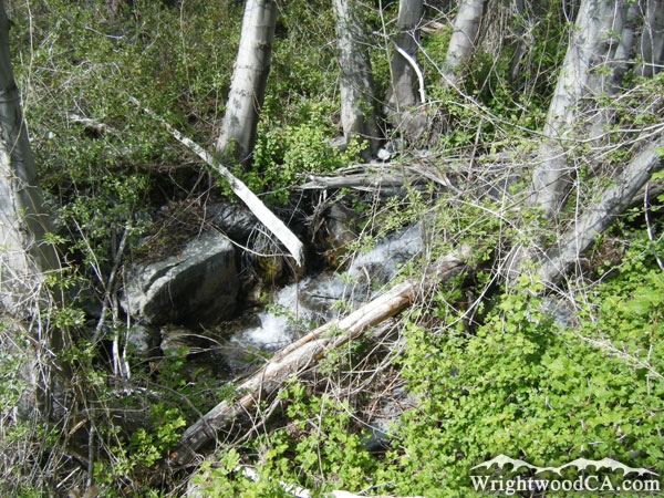
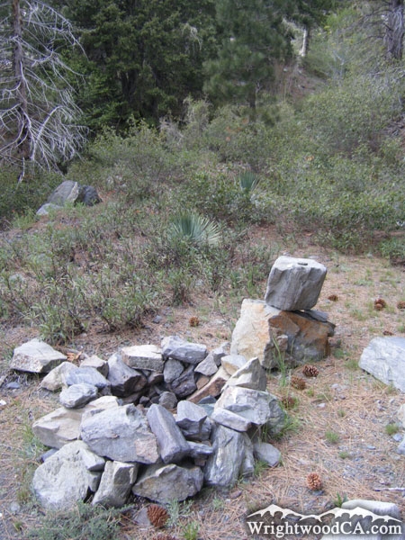
Although the trail is painful and hard to follow, it does offer some amazing views of the north-west face of Mt Baldy. As the trail drops down into Fish Fork, it gets more and more remote and reminiscent of the Sierra Nevada Mountains. Don't forget that this trail is only a portion of the hiking you will need to do to complete this trail. Remember that it connects to the North Backbone Trail (which is the hardest trail in the area) and the Fish Fork Trail, which can also take some time and energy. If you must hike the Dawson Peak Trail, you might want to make an overnight trip out of it.
Directions to Dawson Peak Trail from Wrightwood
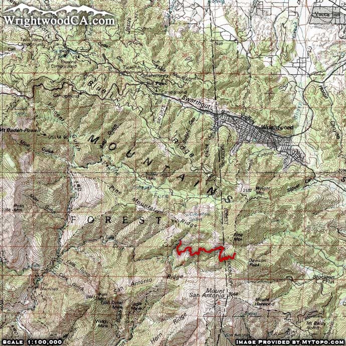
This trail can only be accessed by either the Fish Fork Trail or the North Backbone Trail. Take Hwy 2 westbound from Wrightwood, past Big Pines and up to Inspiration Point. From Inspiration take Access Road 3N06 westbound, past both of Mountain High's Ski Resorts and past both Blue Ridge and Guffy Campgrounds to its intersection with Access Road 3N39...
To access the Dawson Peak Trail via the Fish Fork Trail from Lupine Campground, take Access Road 3N39 southbound to Lupine Campground. Hike along the Fish Fork Trail for approximately 3.7 miles (over Pine Mountain Ridge) to access the bottom of the Dawson Peak Trail. Unfortunately, this area of the trail is not well maintained and is sometimes overgrown, making trail navigation difficult.
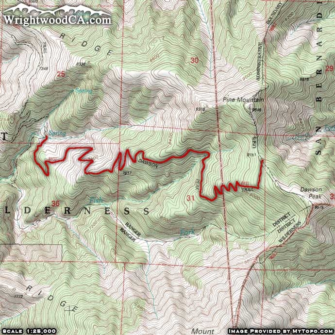
To access the Dawson Peak Trail via the North Backbone Trail, continue eastbound on the 3N06 for about 2 miles where you will find the North Backbone Trail head along the right side of the road, where the north ridge of Pine Mountain meets the south side of Wright Mountain. Hike along the North Backbone Trail for approximately 2 miles. This will drop you into the saddle between Pine Mountain and Dawson Peak. This is where you can find the top of the Dawson Peak Trail.
Don't forget to display a National Forest Adventure Pass in the windshield of your vehicle.
Dawson Peak Trail Photos
Dawson Peak Trail Maps
|