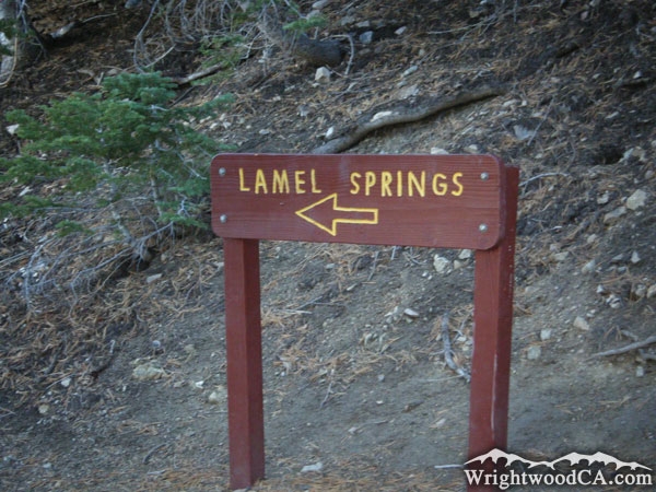
Mt. Baden Powell Trail
Hiking Trails
 View Photos (42) View Photos (42)
|
 View Maps (2) View Maps (2)
|
Mt. Baden Powell Trail Information |
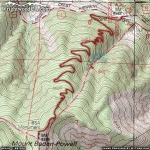
| Length: | 3.8 miles |
| Type: | One Way |
| Gain/Loss: | +2814'/-0' |
| Difficulty: | Hard |
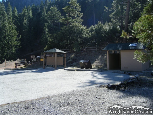
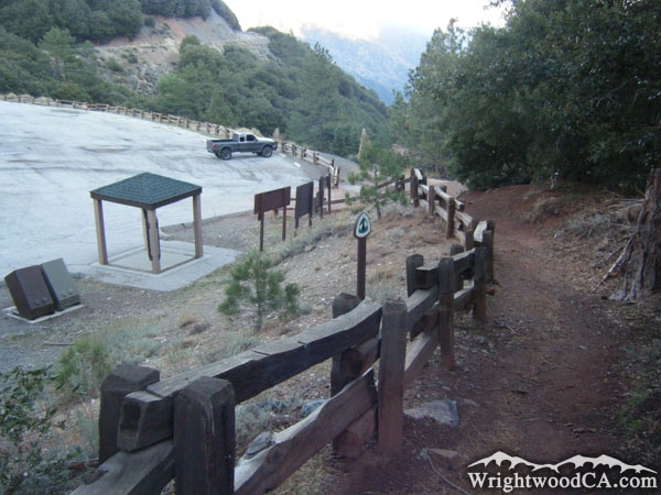
| Trailhead: | Vincent Gap |
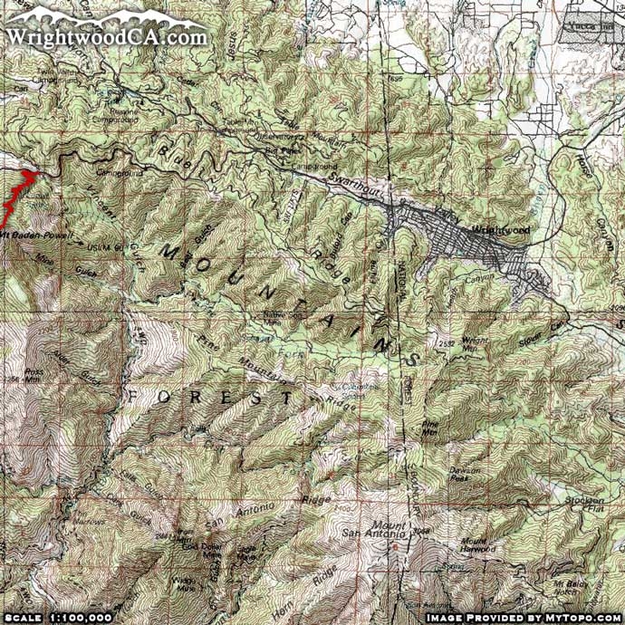
| Location: | South-West of Wrightwood |
|
Mt. Baden Powell Trail Elevation Profile
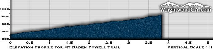
*Elevation data provided by National Geographic Topo!*
Mt. Baden Powell Trail Description
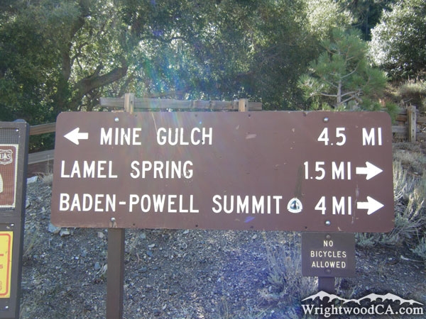
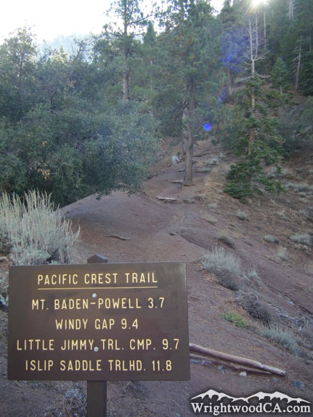
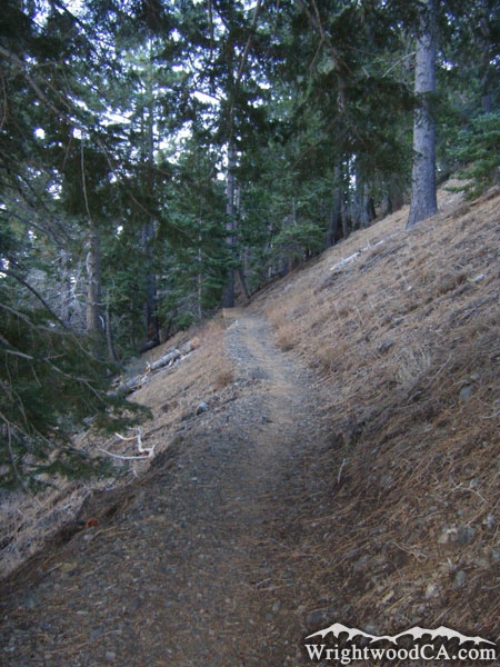
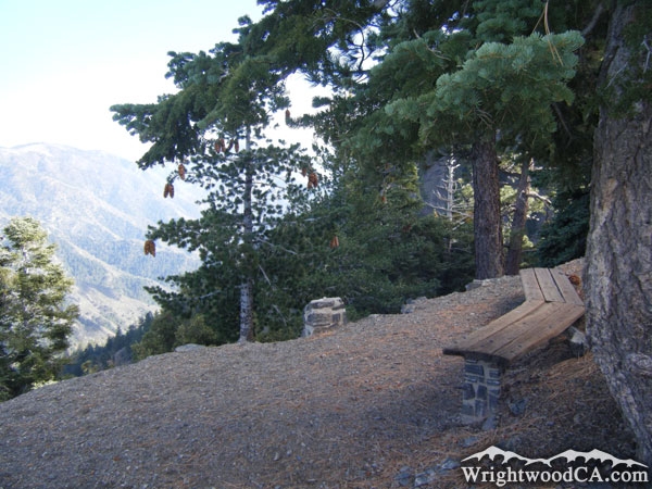
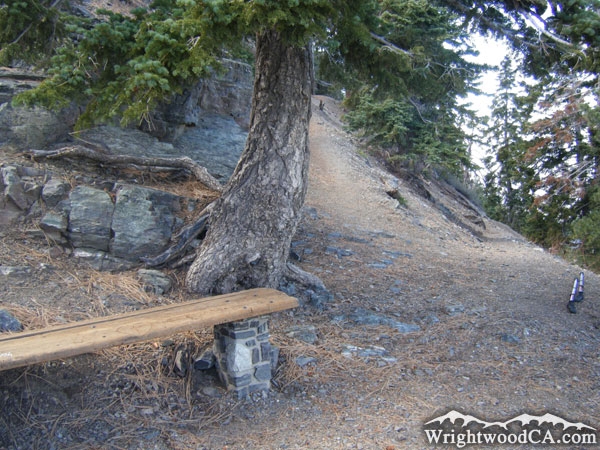
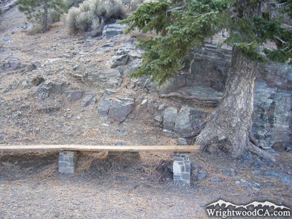
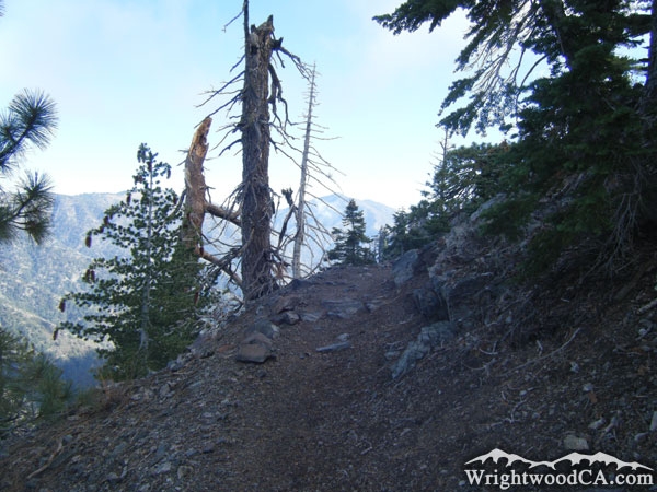
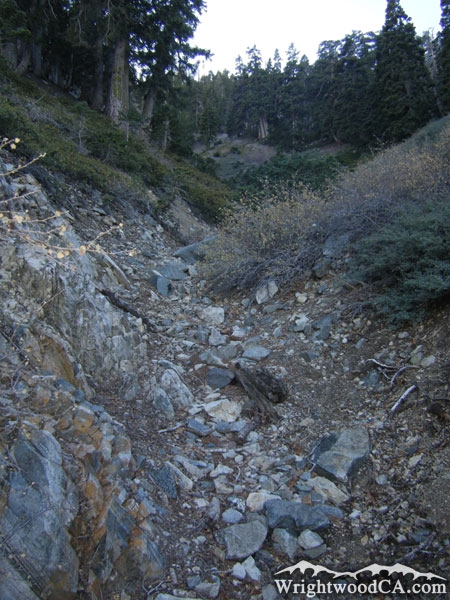
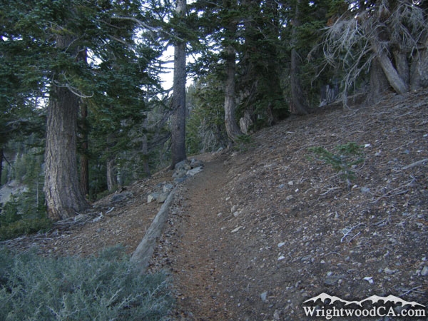
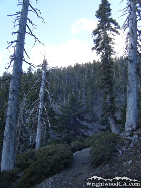
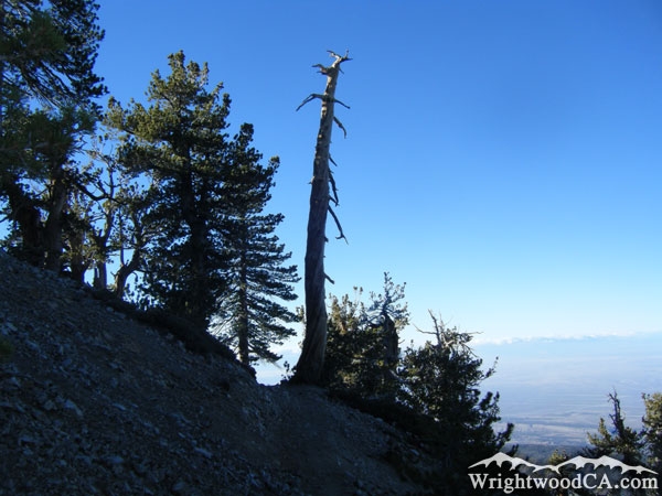
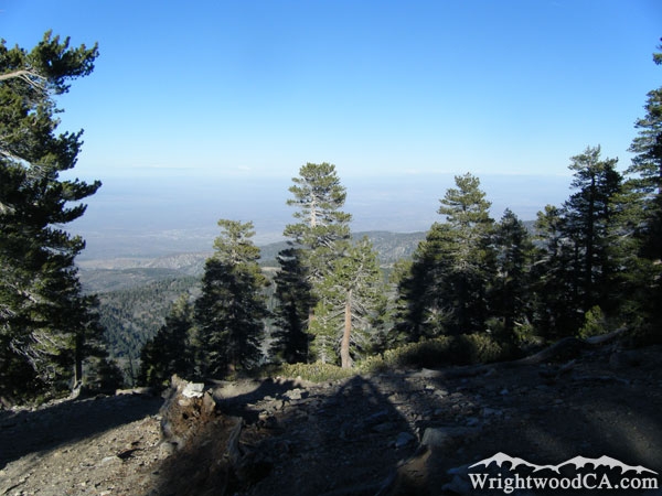
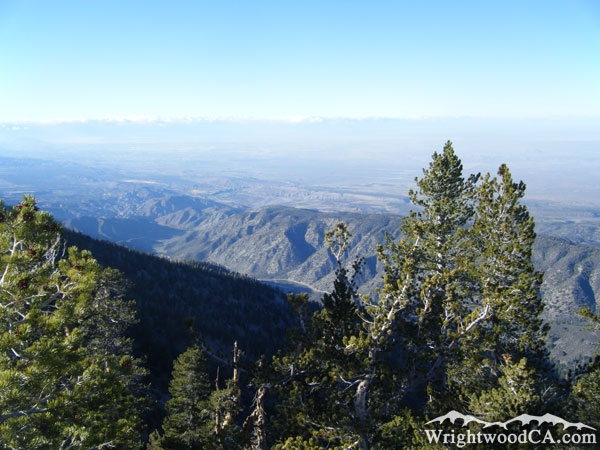
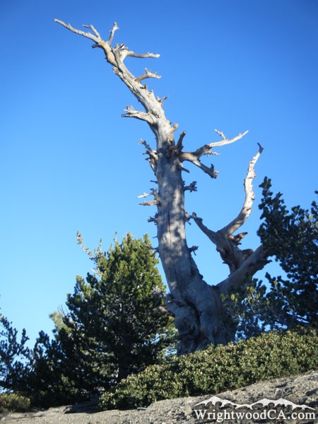
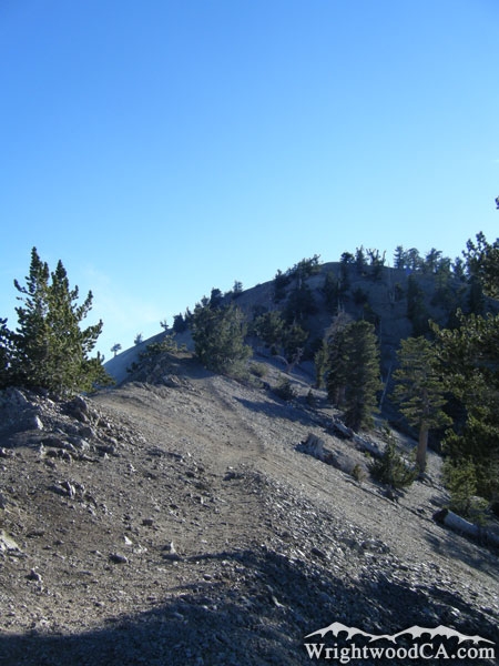
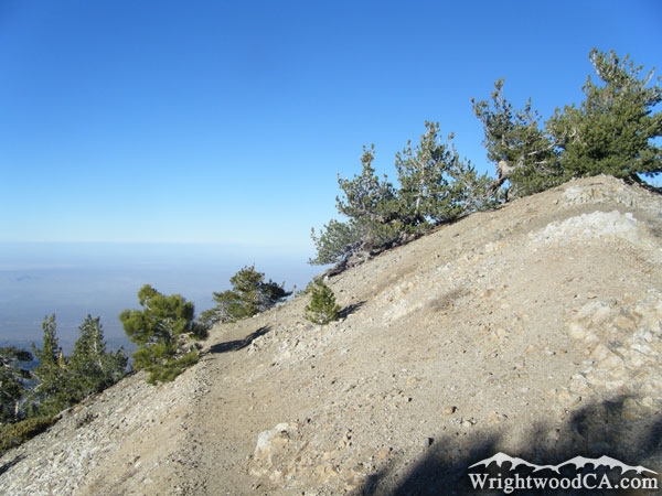
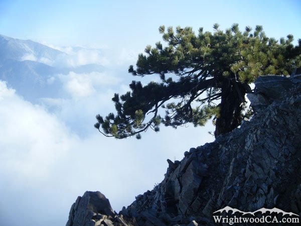
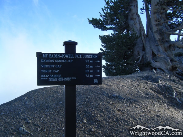
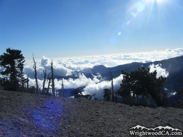
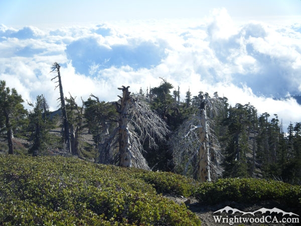
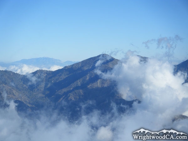
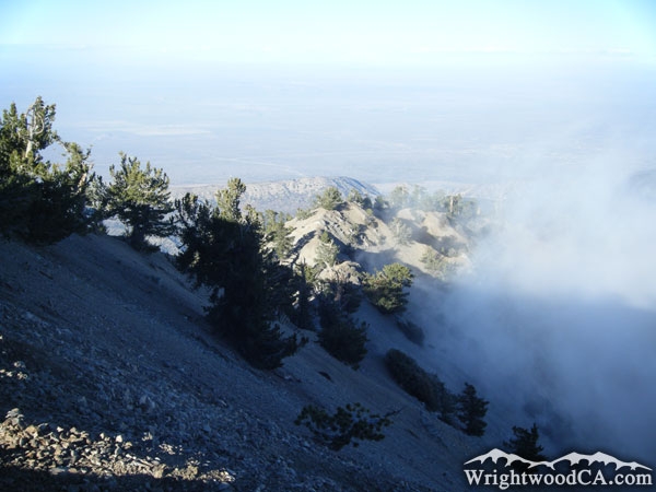
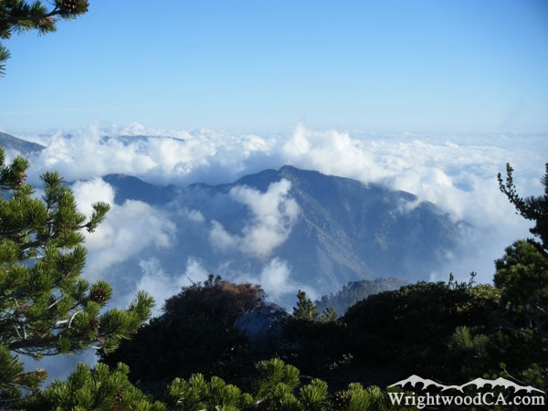
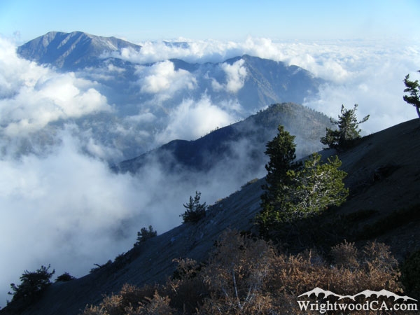
The Mt Baden Powell Trail is located south-west of the town of Wrightwood. It is one of the most popular trails in the area because it is easy to access by vehicle and offers incredible views at the summit of Mt Baden Powell. The trail actually traverses up the north side of the mountain with a steady incline the entire hike. The Mt Baden Powell Trail also doubles as the Pacific Crest Trail (PCT) almost to the top of the mountain, where the PCT breaks off and continues through the San Gabriel Mountains.
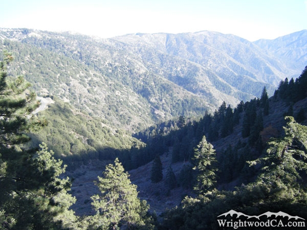
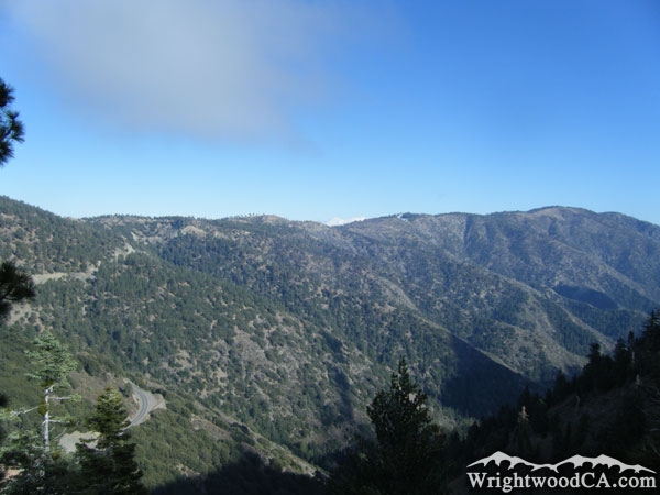
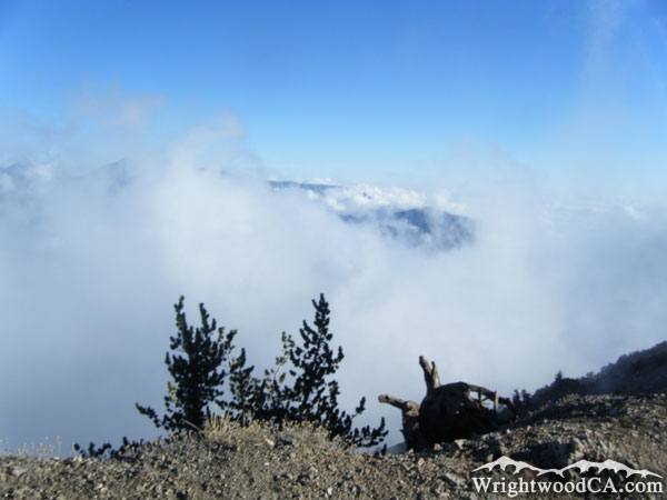
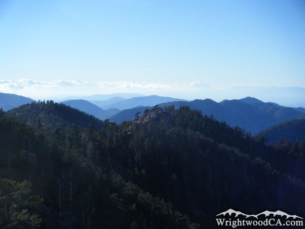
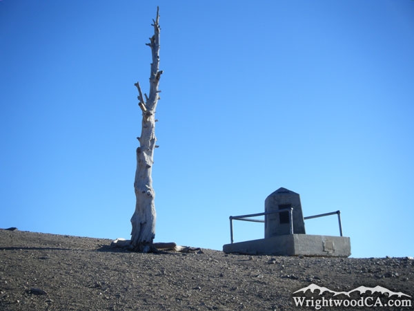
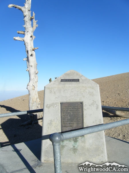
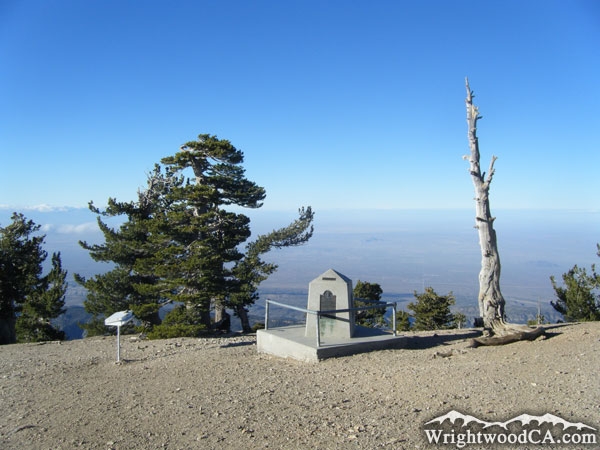
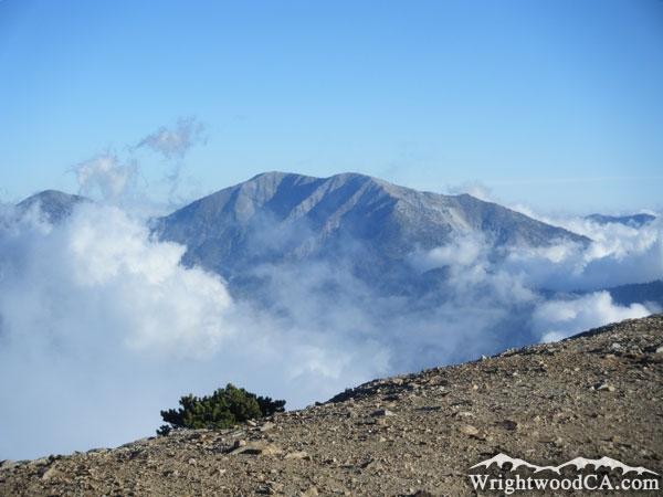
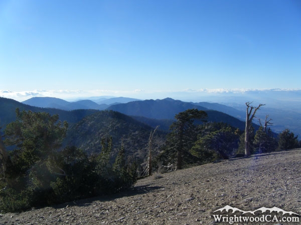
At the peak of the Mt Baden Powell Trail is a Boy Scout Monument dedicated to Lord Baden Powell (founder of the World Scouting Movement). From the peak of Mt Baden Powell, are incredible views of Mt Badly, Pine Mountain, Iron Mountain, Blue Ridge, and all of the canyons that join the San Gabriel River Basin (East Fork).
Directions to Mt. Baden Powell Trail from Wrightwood
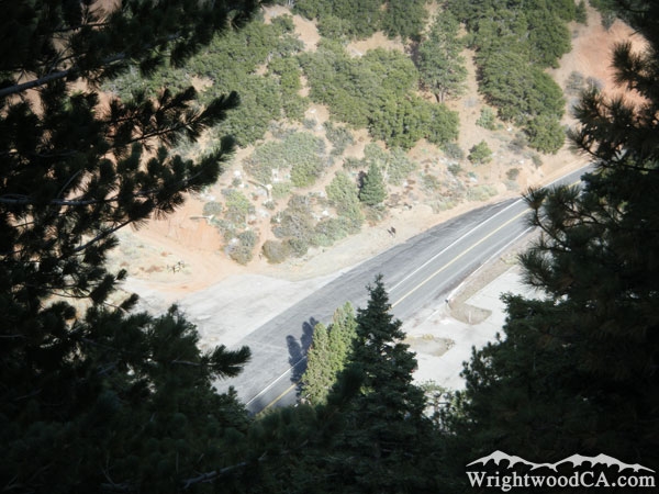
Take Hwy 2 westbound from Wrightwood, past Big Pines and up to Inspiration Point. Continue on Hwy 2 from Inspiration Point past Grassy Hollow Visitor's Center and down to the Vincent Gap parking area.
Don't forget to display a National Forest Adventure Pass in the windshield of your vehicle.
Mt. Baden Powell Trail Photos
Mt. Baden Powell Trail Maps
|